Understanding Elevation: How Survey Data Helps You Read the Land
Hannah Taylor
April 21, 2026
UnderstandingElevation: How Survey Data Helps You Read the Land
Knowing where your property lines are is only part ofunderstanding your land. Another important piece is elevation—how the groundrises, falls, and directs water across the property.
Even when a property appears flat, small elevation changescan influence drainage, water flow, and how the land functions overall. Thesedetails aren’t always visible to the eye, but they can have a real impact.
What Elevation Information Reveals
Elevation data helps show how the surface of a propertybehaves. With the right information, you can better understand:
- Where high and low points exist
- How water may move across the land
- Areas where water could collect or drain away
- How existing features relate to the surface of the ground
For example, a yard that looks level may actually slope justenough to direct water toward a specific area. Without measured data, thesesubtle changes are easy to miss.
What a Full Topographic Survey Includes
A full topographic survey provides a comprehensive map ofelevation across an entire property. It typically identifies:
- Natural features such as slopes, depressions, and drainage paths
- Man-made features like structures, pavement, and retaining elements
- Continuous elevation changes across the entire site
This type of survey is used when a complete surface model ofthe property is needed.
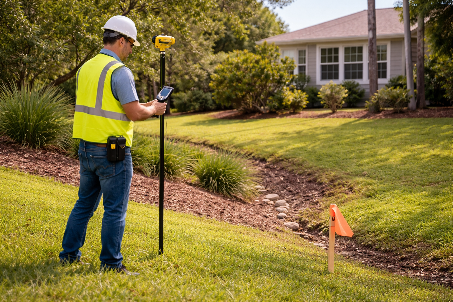
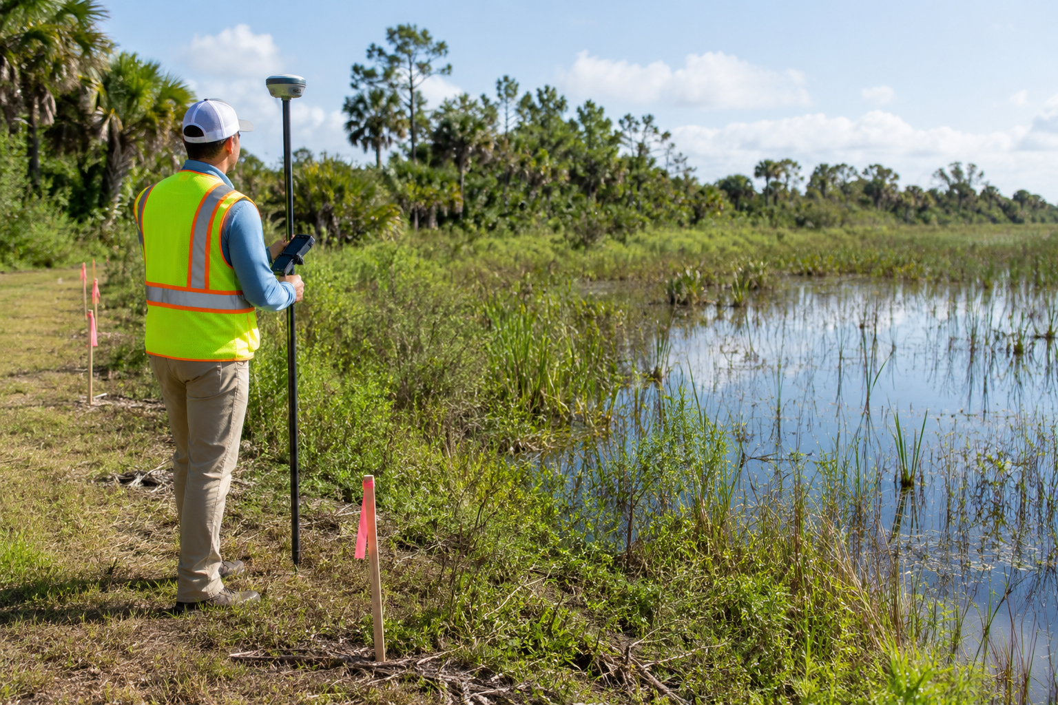
A Practical Alternative: Spot Elevations
In many cases, a full topographic survey isn’t necessary.Instead, targeted elevation data can provide the insight needed without mappingthe entire property.
That’s where spot elevations come in.
Spot elevations are specific, measured points taken at keylocations on a property. These points can help:
- Identify high and low areas
- Check elevations around structures or features
- Understand how certain areas of the property relate to one another
- Provide focused data where it matters most
This approach is often more efficient when only certainareas need to be evaluated.
Common Misconceptions About Elevation
One common misconception is that boundary surveys includeelevation data—they typically do not.
Another is that elevation only matters in steep or hillyareas. In reality, even minor changes in elevation can affect how water moves,especially in relatively flat regions where drainage is less obvious.
Our Role: Providing Accurate Elevation Data
At First Choice Surveying, we focus on collecting accurate,reliable elevation information at specific locations on your property. We do not provide full topographic surveys, but we do offer spot elevationservices to help clients better understand key areas of their land.
Our role is to document what exists—not to design,interpret, or make recommendations—but to provide the data you need to makeinformed decisions.
Getting the Information You Need
Understanding your property goes beyond boundaries.Elevation plays an important role in how land functions, even when changes aresubtle.
If you need elevation information for specific areas of yourproperty, contact First Choice Surveying to learn more about our spotelevation services. We’ll help you get clear, accurate data where it mattersmost.
Related Articles
Lorem ipsum dolor sit amet, consectetur adipiscing elit.


How Hurricanes and Water Tables Impact Surveys
Unique Challenges of Surveying in Florida

Delays Caused by Survey Issues and How to Avoid Them

Your First Choice for Land Surveys