Surveying in Wetlands, Flood Zones, and Coastal Areas
Hannah Taylor
April 7, 2026
Surveying in Wetlands, FloodZones, and Coastal Areas
Florida contains many environmentally sensitive locations, and these areas can create unique challenges during a land survey. Wetlands, flood zones, andcoastal regions often have specific conditions that influence how boundaries and elevations are documented. Understanding how these features affect the surveying process is important for anyone who owns or is evaluating property in these regions.
Certain environmental features and classifications must be considered, including
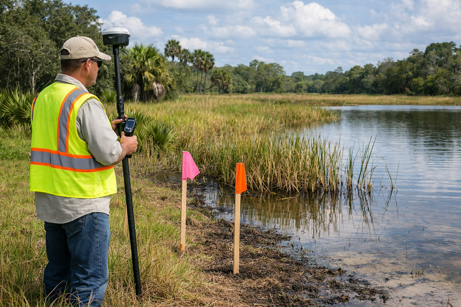
• Wetland boundaries and how they affect usable portions of a property
• FEMA flood zone designations and related elevation information
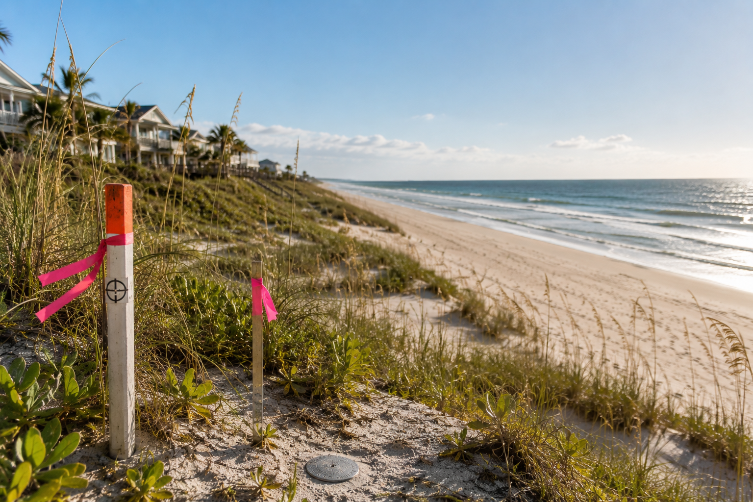
• The Coastal Construction Control Line and how it relates to co
• Mapping systems used to identify sensitive or regulated areas
These factors can influence property value, available land use, insurance considerations, and overall planning. Without accurate survey information, property owners may misunderstand where environmentally sensitive areas begin or how certain classifications apply to their land.
Common misconceptions often arise in these settings. Some believe land must appear wet to be considered a wetland, although wetland status is based onsoil, vegetation, and hydrology. Others assume flood maps never change or that all surveyors use the same methods for coastal locations. In reality, flood maps are updated periodically, and surveys near the coast require familiarity with specific environmental standards and mapping tools.
A professional survey helps clarify
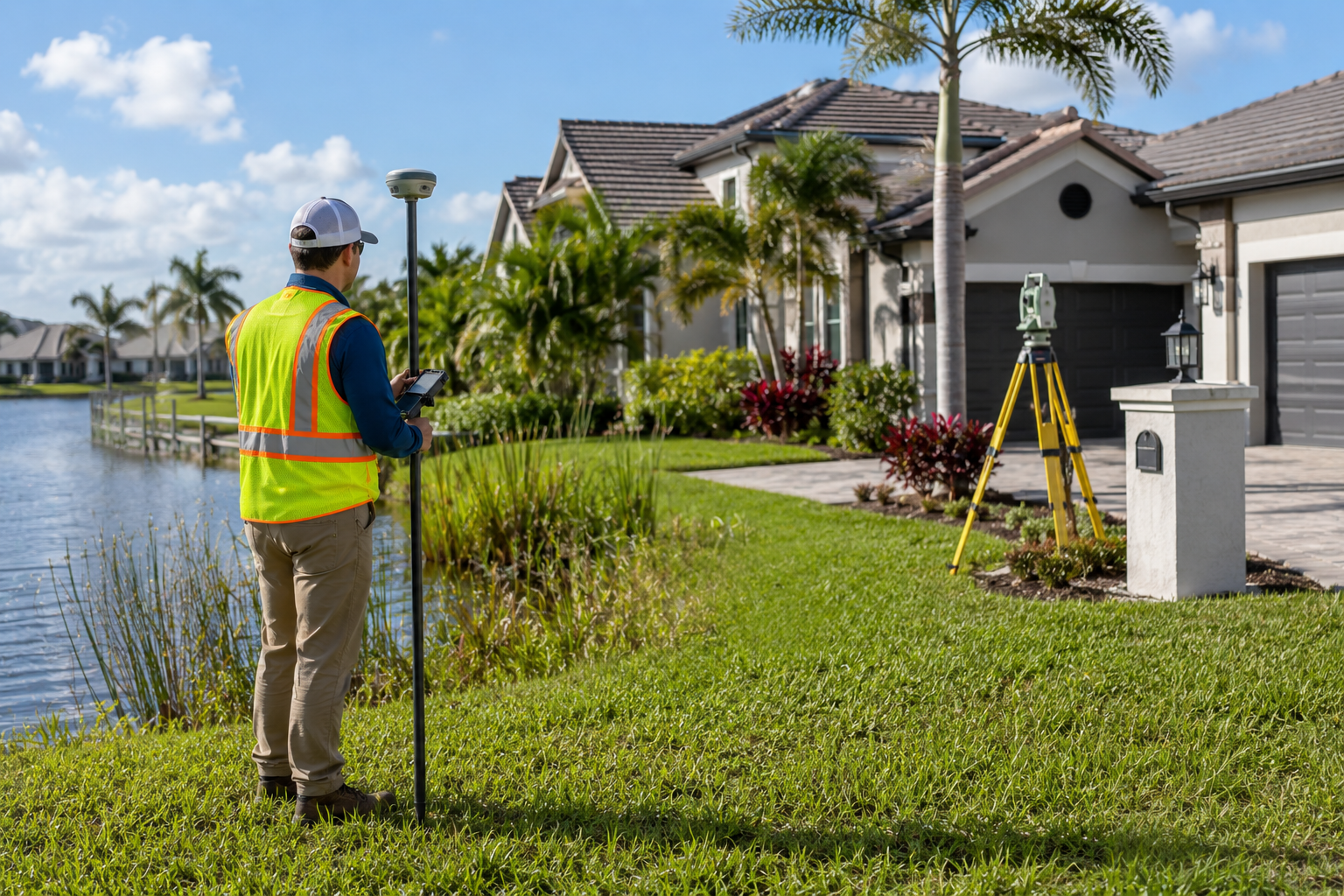
• Whether a property is within a flood zone
• The location of any wetlands when applicable (note a wetland study and report must be completed in order for a survey to show the wetland location)
• Elevation information that may be needed for insurance purposes
• The location of the Coastal Construction Control Line when applicable
First Choice Surveying has experience working in areas that require heightened environmental awareness and careful documentation. Accurate information is essential for understanding a property and making informed decisions.
If your land is near a wetland, flood zone, or coastal area, reliable surveydata is one of the best ways to protect your investment. Contact First Choice Surveying for clear guidance and accurate surveys throughout Florida.
Related Articles
Lorem ipsum dolor sit amet, consectetur adipiscing elit.


Understanding Florida's Setback Florida’s Setback Requirements
What Makes Surveying a Beachfront Property Different
How Hurricanes and Water Tables Impact Surveys

Your First Choice for Land Surveys