How Technology Is Revolutionizing Land Surveys
Hannah Taylor
May 23, 2025

Inthe last two decades, technological advancements have drastically transformednearly every industry. These changes accelerate each year, includingadvancements in land surveying. Land and boundary surveying is one of the areaswherein technology has brought about some of the most rapid and extremechanges, leading to more precise, efficient, and cost-effective methods.
GPS Technology
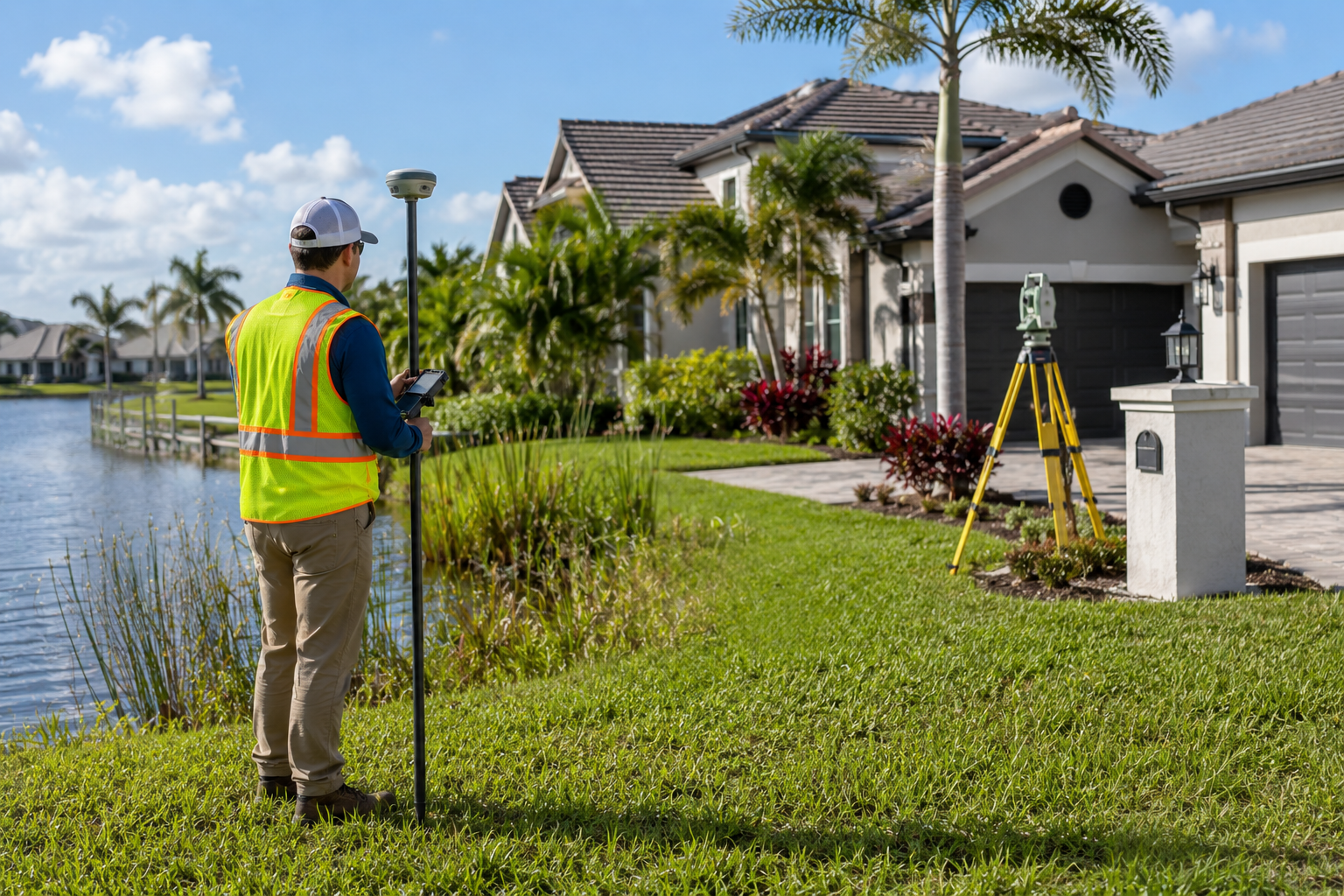
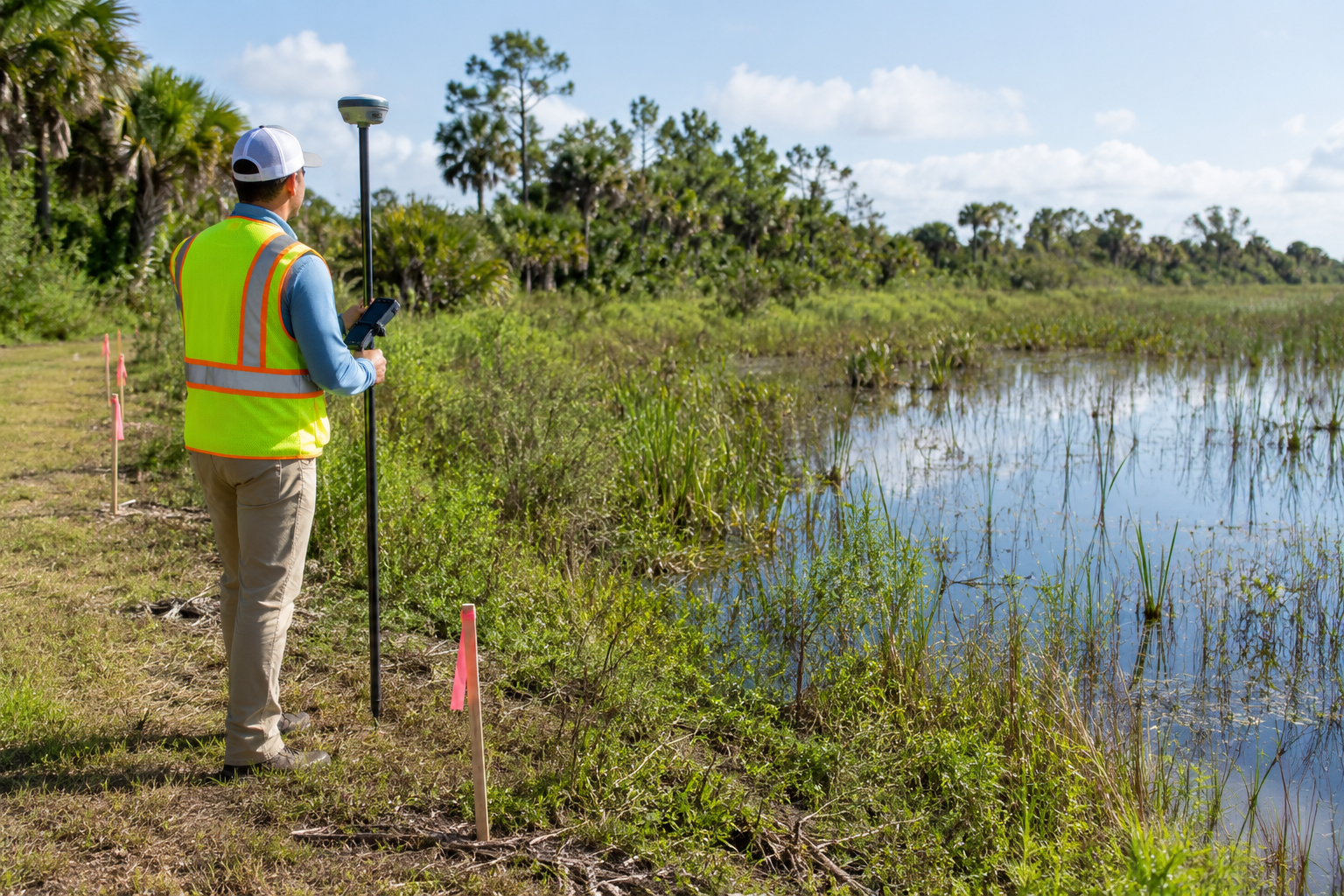
Globalpositioning systems (GPS) have been a complete game changer in land surveying.Using satellites that constantly rotate the earth, land surveying can getnear-instant access to spot elevation data, the ability to precisely planlimits down to the foot, and access to other spatial data that would have takenhours, if not days, to collect in the past using older methods. While consumerGPS devices are widely considered accurate within 3 to 5 meters, high-end andcommercial models such as those used in land surveying (real-time kinematic orRTK) can be precise down to the centimeter in clear sky conditions. RTK modelscan be enhanced with fixed base station receivers and roving units to correctminor discrepancies caused by weather conditions, allowing for near-pinpointaccuracy. This precision has significantly improved both the speed andreliability of surveys.
3D Laser Scanning
LIDAR (light detection and ranging) scans area method of determining ranges that involves targeting an object with a laserand measuring the amount of time it takes for the light to be reflected offthat surface and returned to the receiver. A 3D laser scan for boundary surveyscan be used to create highly detailed 3D models of infrastructure, topography,boundary features, and more. Surveyors and engineers can use these models tomake better-informed decisions about property and infrastructure, whether forconstruction, development, or environmental analysis. These detailed modelsalso enhance the accuracy of boundary identification, ensuring legal precision.
Drone Aerial Imaging
The pastdecade has brought a revolution in commercial and personal drone technology,and it’s no wonder the field of boundary surveying has taken full advantage.Drones can be used to get comprehensive spot elevation survey views of aproperty from the sky and can be automated for ever greater surveyingefficiency. The development of autonomous drones, in particular, has advanced landsurveying by enabling a swarm of drones to work together efficiently,collecting data with minimal human intervention (AP News, 2025). These dronesare capable of precise, coordinated flight paths, which increases the speed andaccuracy of surveying tasks. This technology can cover large areas with fewerresources, further increasing the efficiency of surveys, particularly inhard-to-reach areas or large-scale projects.
Survey Software and AI-DrivenSolutions
Whiletechnological advances have played an enormous role in improving Floridaboundary surveying and beyond, advances in software and artificial intelligencehave played an even more game-changing role. Data can now be stored and managedin specialized CAD, GIS, and mapping software that can process massive amountsof data in the cloud for access anywhere the surveyor may be, high-resolutiondrone images, GPS data, robotic total station datasets, and more. The advancementsin processing power have changed how we think about land surveying, allowingsurveyors to analyze and manage larger datasets with greater ease and accuracy.This data integration facilitates quicker decision-making, making the entiresurveying process faster and more transparent.
Let Us Be Your First Choice
If you require a boundary, spot elevation,flood, or land survey in Florida, let us be your First Choice. Serving the majority of the state,we use technology and our decades of experience to give our customers thehighest quality of service. Contact us today for a quote.
Reference
APNews. (2025, March 14). Autonomous dronesand animal swarms: Revolutionizing land surveying. Associated Press. https://apnews.com/article/autonomous-drones-animal-swarms-0e146f4221e81f4442674a125f86501d
Related Articles
Lorem ipsum dolor sit amet, consectetur adipiscing elit.


What Makes Surveying a Beachfront Property Different
How Hurricanes and Water Tables Impact Surveys
Unique Challenges of Surveying in Florida

Your First Choice for Land Surveys