
What Surveyors Do: How We Gather and Transform Information
Hannah Taylor
January 27, 2026
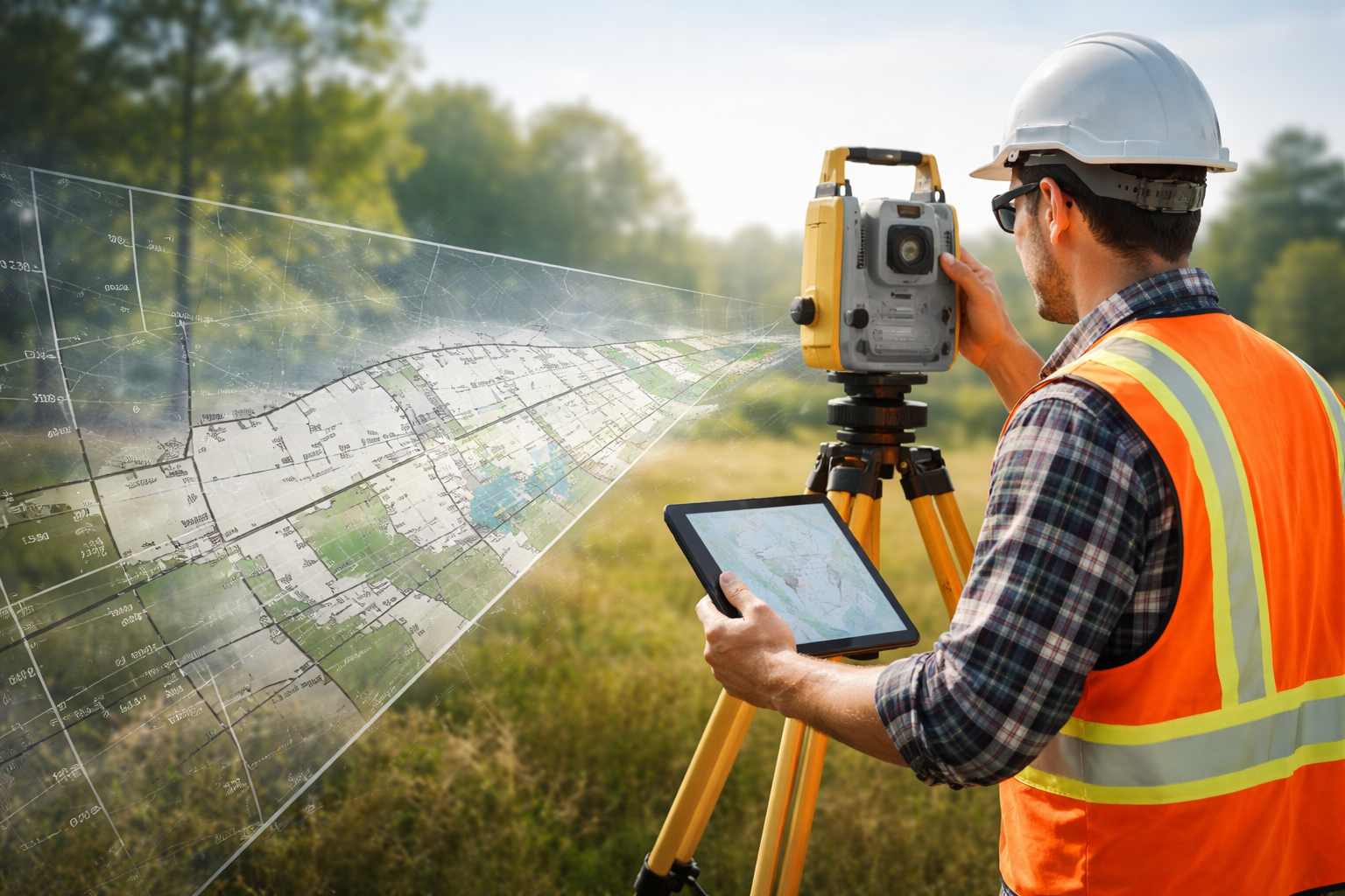
Most people see a survey as a finished map or report, butthe real work happens long before anything is delivered to a client. Surveyingis the process of observing what exists on the ground and translating thoseobservations into accurate, actionable information.
Importantly, our role is not to make judgments ordetermine compliance—we simply show what is there so clients can make informeddecisions.
Below is an inside look at how a survey moves from on-siteobservations to a polished final product.
How Information Is Gathered On-Site
Every survey begins with a visit to the property. This iswhere we collect the raw information that supports everything else thatfollows.
During this stage, our team focuses on:
- Identifying property markers or evidence of boundary lines
- Measuring distances, angles, and elevations using precise instruments
- Documenting visible features such as structures, fences, driveways, utilities, and terrain
- Noting anything unusual or inconsistent that may need further review later
- Taking photographs and detailed notes for reference
This step is all about accuracy and clarity. The morecomplete the data, the smoother the remainder of the process will be.
How the Information Is Interpreted and Transformed
Once all site information is collected, the next phasehappens back at the office. Here, our focus shifts from gathering tounderstanding.
This stage includes:
- Organizing and reviewing all measurements, photos, and notes
- Comparing what we found on-site with deeds, maps, and historical records
- Aligning the measurements to the appropriate coordinate system
- Investigating discrepancies or unclear information
- Creating the final drawings or reports based on verified data
This part of the process is essential because it connectsthe physical evidence from the property with the legal and historical contextbehind it.
Why These Two Phases Work Together
A survey isn’t just a set of measurements—it’s a carefulcombination of what exists on the property today and how thatinformation relates to documented records.
Even though clients often only see the final report, thatproduct is the result of:
- Detailed on-site observation
- Thorough data analysis
- Careful comparison with official records
- Multiple steps of verification
This ensures that the final survey is dependable, clear, anduseful for whatever decisions the client needs to make next.
Our Purpose: To Show You What’s There
Surveyors do not determine whether something is “allowed,”“compliant,” or “permissible.”
Our responsibility is to present an accurate representation of the propertyas it exists—nothing more, nothing less.
By documenting the conditions with precision, we giveclients, builders, planners, and property owners the information they need tomove forward confidently.
Related Articles
Lorem ipsum dolor sit amet, consectetur adipiscing elit.

A Career in Surveying
Why Licensing Matters